

Today’s view on our planet from space is the clearest ever – land cover changes such as forest fires and concession roads can be easily detected with the latest Earth Observation (EO) technologies. A project of FSC, the European Space Agency (ESA) and several partners shows how the latest EO technology improves its potential as a cost effective tool for forest management certification.
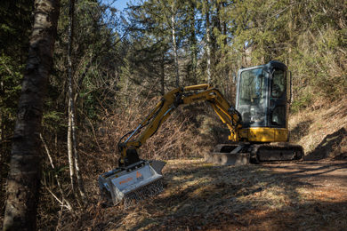
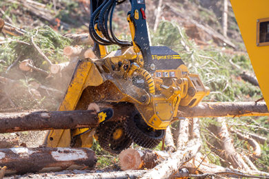
EO experts mapped, measured or monitored FSC certified forests in the following three countries during the two year long project: York Timber Organization in South Africa; Congolaise Industrielle des Bois in the Republic of Congo; and Grupo Orsa in Brazil. The results show EO as practical across a range of services including the documentation of land change cover between two dates making even negative impacts visible. The new data is a source of valuable information for FSC certificate holders to show their compliance with FSC’s Principles and Criteria over time as well as with national regulations.
The EO maps illustrate areas of deforestation and fire breaks as well as agriculture, rivers and flooded vegetation. Furthermore, experts were able to estimate timber volumes in a plantation and areas which were destroyed by fire and later successfully re-established. With this EO technology it was even possible to detect and map concession roads as an indicator of deforestation risk or project accessibility.
For the study the specialists combined the latest generation of low cost, high resolution satellite imagery with complementary data mapping of radar and optical sensors within a Geographical Information System’s (GIS) framework. FSC certified forest companies with GIS capabilities can seamlessly integrate those large scale maps into their operations. “Thus they save considerable cost and time compared to conventional ground-based forest surveys”, says Justin Butler, Chief Executive Officer of Ambiental.
Francesco Holecz, Chief Executive Officer of Sarmap SA, comments: “This also ensures that forest product maps and measurements are totally unbiased and independent. And, once ground verified, reliable.”
FSC Criteria 10.5 in plantations for example, requires the restoration or maintenance of a proportion of the overall forest management area as natural forest cover. EO analysis could help FSC certification bodies to evaluate and monitor compliance with FSC requirements regarding set aside areas based on up-to-date and easy assessable land cover maps and EO information.
The three companies participating in the project confirmed that the EO services provided valuable support for forest management decisions. The additional or alternative data source helped to make decisions and to address specific management issues such as fire damage and assessment of burned areas. The impact of decisions over time can also be monitored and easily verified by FSC certification bodies.
As such, for FSC certification the new EO technology could be seen as a reliable, independent, comprehensive and detailed source of information on forest operations and certification. Francesco Holecz, concludes: “Successful integration of EO services in responsible forest management will depend on our ability to provide relevant and cost effective mapping and monitoring services. The key to this is providing customised products and automated data analysis processes which speed up service delivery, limit operator bias and error and reduce processing costs.”
The project partners include Sarmap, Ambiental Technical Solutions, Aon Ltd and Eyre Consulting, and the European Space Agency (ESA) that financed the project. FSC and the project partners are planning to share these results at the upcoming FSC General Assembly.